
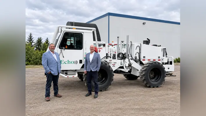
 Echo Seismic Ltd., a geophysical business with offices in the UK and North America, has launched a new dedicated unit expanding seismic imaging and project services for geothermal developers and geotechnical teams worldwide.
The launch of the new division, named EchoVision, responds to growing demand as more developers and engineering teams recognise the value of seismic data in reducing subsurface uncertainty before drilling or construction, an Echo Seismic statement read posted to its website.
“We’re seeing increasing interest in what seismic imaging can offer these markets, alongside a clear need for faster answers and simpler project delivery,” said Quinten Bailey, Managing Director – International Operations of Echo Seismic Ltd.
“Our experts have already demonstrated what is possible, and we have the technology and proven processes in place. EchoVision builds on that foundation, expanding our service to help more customers access high-quality subsurface insight with less disruption.”
Expert teams
Led by experienced geophysicist Rob Kendall, EchoVision combines deep domain expertise with decades of experience in survey planning, acquisition and imaging.
Its specialists address common causes of project delays, including permitting, land access and stakeholder engagement, before fieldwork begins.
Compact seismic source and receiver technology enables rapid operations, reduces operational demands and supports dense receiver coverage for detailed subsurface imaging.
UK experience
The experts now delivering EchoVision projects have demonstrated this capability internationally.
In the UK, for the University of York, following detailed advance planning led by Echo, the team acquired and delivered a 3D seismic image beneath a 30 sq km area of the city in less than 60 days.
The survey revealed geothermal targets more than 4,000 metres below the surface, helping inform where to drill and refine well design.
“We’ve seen the value of getting useful information into customers’ hands sooner, from helping identify where to drill a geothermal well to giving developers greater confidence in ground conditions before building,” said Kendall, EchoVision Director of Geothermal and Geotechnical.
“These results reflect years of refining our approach, from early planning through to the final image. We’re excited to bring what we’ve learned to more geothermal and geotechnical teams, helping them get the information they need faster.”
Geothermal services
Geothermal clients can engage the division from early exploration planning through to target definition and well monitoring.
EchoVision offers complete seismic programmes, delivering subsurface data, interpretation and recommendations, alongside specialist support at individual project stages.
Services include feasibility assessments, GIS planning, advisory support, project management, permitting, survey design, specialist equipment, acquisition, processing and imaging.
Survey capabilities include full-cycle project management, 2D, 3D and 4D reflection seismic, seismic refraction, Multichannel Analysis of Surface Waves (MASW), Induced Seismicity Monitoring (ISM) and Ambient Noise Tomography (ANT), supporting investigations from the shallow subsurface to deep geothermal targets.